UAV & Aerial Analytics.
Real-time detection and segmentation for UAV platforms, satellite imagery, and aerial imaging systems, enabling automated analysis of scenes, objects, and land cover from elevated viewpoints.
Aerial imaging introduces unique challenges, small object size, altitude-dependent scale variation, dense scene clutter, and the need for onboard real-time inference under tight power and compute constraints. Lightweight architectures address vehicle detection in satellite imagery, foreign object localization on airport runways, and dense scene segmentation from drone platforms, designed for edge-deployable aerial perception across a range of operational altitudes and imaging conditions.
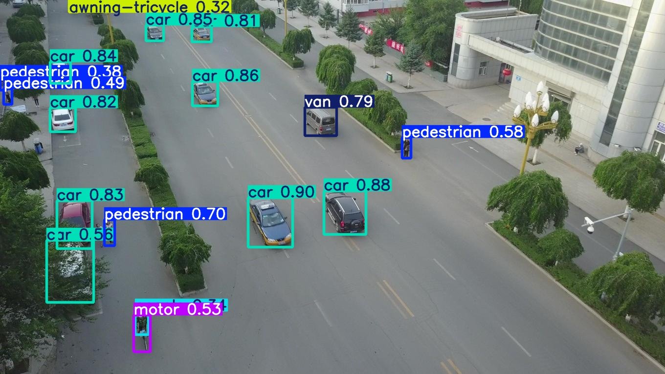
Object Detection
Real-time localization of objects, vehicles, and structures in aerial and satellite imagery, enabling surveillance, monitoring, and remote sensing at scale.
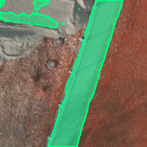
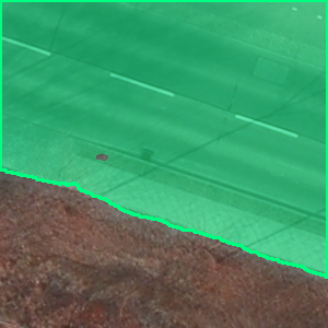
Semantic Segmentation
Dense pixel classification of aerial scenes into land cover categories, structures, and surfaces, supporting change detection, area estimation, and environment mapping from UAV and satellite platforms.
Why Computer Vision Matters
in UAV & Aerial Analytics.
01 — Cover in minutes what ground teams take days to survey
UAV-mounted detection systems survey large areas, transmission corridors, pipelines, coastlines, agricultural land, in a single flight, compressing inspection timelines that would otherwise require days of ground-level access.
02 — Detect objects too small for conventional analysis
Specialised lightweight architectures address the small object detection challenge inherent to aerial imagery, reliably localizing pedestrians, vehicles, and foreign objects that occupy only a handful of pixels at operational altitude.
03 — Process onboard without ground link dependency
Edge-optimized models run inference directly on UAV hardware, eliminating the need to transmit raw video to ground stations for processing, reducing bandwidth requirements and enabling real-time decision-making in the field.
04 — Operate consistently across altitude and conditions
Models trained on varied aerial data generalise across imaging altitude, lighting conditions, and scene density, maintaining reliable detection performance from low-altitude close inspection through to high-altitude wide-area surveillance.