Infrastructure Monitoring.
Automated visual analysis of civil infrastructure using lightweight computer vision, enabling detection and segmentation of surface conditions, structural elements, and anomalies at scale.
Infrastructure assets degrade continuously through weather, load cycles, and material fatigue. Lightweight vision models enable automated detection of road cracks, bridge spalling, corrosion, and structural deformation from standard camera and drone imagery providing consistent coverage across large asset portfolios where manual inspection is impractical at scale. Models are designed to operate across varied surface types and imaging conditions, supporting deployment in both fixed-camera monitoring systems and UAV-based inspection workflows.
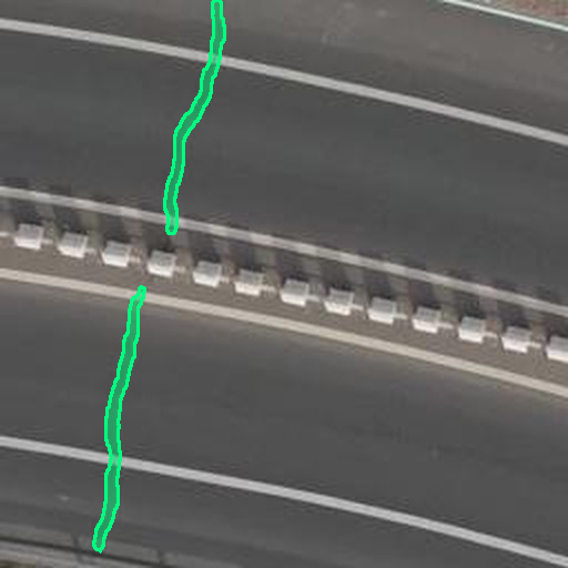
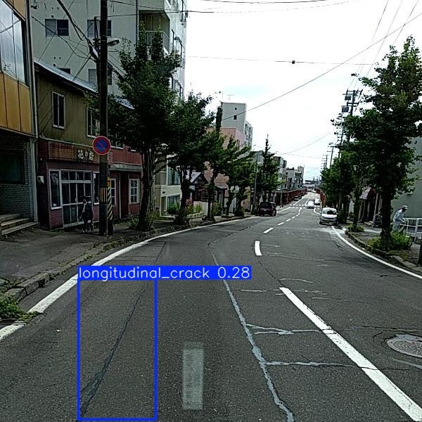
Object Detection
Detection and localization of surface defects, damage types, and structural anomalies for infrastructure health assessment and maintenance prioritization.
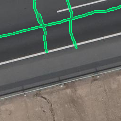
Semantic Segmentation
Pixel-level segmentation of road surfaces, bridge decks, and structural facades, enabling precise crack boundary delineation, spalling localization, and defect extent quantification for maintenance prioritization.
Why Computer Vision Matters
in Infrastructure Monitoring.
01 — Detect defects before they become failures
Automated crack and spalling detection identifies surface deterioration weeks or months before it reaches the threshold requiring emergency repair reducing the likelihood of costly structural failures and unplanned road closures.
02 — Cut field survey time significantly
Image-based inspection of roads, bridges, and facades processes in seconds what takes field teams hours on-site. Coverage that previously required days of manual survey can be completed from drone or vehicle-mounted camera footage in a fraction of the time.
03 — Scale across entire road and asset networks
Lightweight models handle thousands of images per day without proportional increases in cost or staffing, making city-scale crack mapping and bridge monitoring operationally feasible for the first time.
04 — Reach assets that are unsafe to inspect manually
Elevated structures, active carriageways, and confined spaces that carry significant risk for inspection personnel can be assessed remotely using UAV-deployed vision systems with no access constraints.